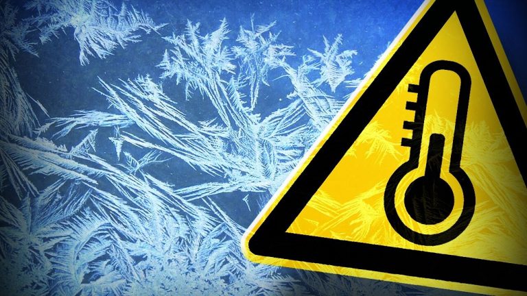
National Weather Service forecasts freezing temperatures, snow
Today – Friday
A chance of sprinkles before noon. Mostly cloudy early, then gradual clearing, with a high near 73. Southwest wind 15 to 20 mph, with gusts as high as 35 mph.
Tonight
Clear, with a low around 35. West southwest wind around 15 mph becoming north northwest after midnight. Winds could gust as high as 30 mph.
Saturday
Sunny, with a high near 47. North wind 10 to 15 mph, with gusts as high as 25 mph.
Saturday Night
Mostly clear, with a low around 21. North wind 10 to 15 mph, with gusts as high as 20 mph.
Sunday
Sunny, with a high near 36. North wind 5 to 15 mph, with gusts as high as 20 mph.
Sunday Night
Mostly clear, with a low around 18. East wind around 5 mph.
M.L.King Day
Mostly sunny, with a high near 34. East southeast wind 5 to 10 mph, with gusts as high as 20 mph.
Monday Night
A 20 percent chance of snow showers after midnight. Mostly cloudy, with a low around 17. East northeast wind 5 to 10 mph.
Tuesday
Mostly sunny, with a high near 36. North northeast wind around 5 mph becoming west in the afternoon.
Tuesday Night
Mostly clear, with a low around 21.
Wednesday
Mostly sunny, with a high near 49.
Wednesday Night
Mostly cloudy, with a low around 28.
Thursday
Mostly sunny, with a high near 50.