Hazardous Weather Outlook
National Weather Service Fort Worth TX
415 AM CST Thu Jan 9 2025
TXZ091>095-100>107-115>123-129>135-141>148-156>162-174-175-101015-
Montague-Cooke-Grayson-Fannin-Lamar-Young-Jack-Wise-Denton-Collin-
Hunt-Delta-Hopkins-Stephens-Palo Pinto-Parker-Tarrant-Dallas-
Rockwall-Kaufman-Van Zandt-Rains-Eastland-Erath-Hood-Somervell-
Johnson-Ellis-Henderson-Comanche-Mills-Hamilton-Bosque-Hill-Navarro-
Freestone-Anderson-Lampasas-Coryell-Bell-McLennan-Falls-Limestone-
Leon-Milam-Robertson-
415 AM CST Thu Jan 9 2025
This Hazardous Weather Outlook is for North and Central Texas.
.DAY ONE...Today and Tonight.
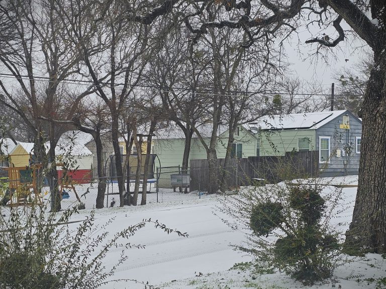
A winter storm will bring rain, sleet, and accumulating snows to
parts of North and Central Texas today and tonight. The most
hazardous conditions are expected to be along and north of the I-20
corridor this afternoon through tonight where heavy sleet and snow is
expected to occur. Farther south, some sleet and light icing can be
expected. Travel may become difficult later today. Consider delaying
or altering any travel.
.DAYS TWO THROUGH SEVEN...Friday through Wednesday.
Light snow may persist from the Metroplex northeast early Friday
before coming to an end. Any snow accumulations or sleet on area
roads will persist through Friday morning before starting to melt in
the afternoon.
.SPOTTER INFORMATION STATEMENT...
Spotter activation is not expected at this time.
$$
Winter Weather Advisory
URGENT - WINTER WEATHER MESSAGE
National Weather Service Fort Worth TX
850 AM CST Thu Jan 9 2025

TXZ115-116-129>135-141>148-156-157-159-161-100200-
/O.CON.KFWD.WW.Y.0001.000000T0000Z-250110T1800Z/
Stephens-Palo Pinto-Eastland-Erath-Hood-Somervell-Johnson-Ellis-
Henderson-Comanche-Mills-Hamilton-Bosque-Hill-Navarro-Freestone-
Anderson-Lampasas-Coryell-McLennan-Limestone-
Including the cities of Gun Barrel City, Cisco, Clifton, Valley
Mills, Goldthwaite, Stephenville, Corsicana, Meridian,
Gatesville, Hamilton, Midlothian, Teague, Palestine, Athens, De
Leon, Hico, Burleson, Gorman, Wortham, Mexia, Dublin, Hillsboro,
Granbury, Copperas Cove, Waco, Breckenridge, Cleburne, Lampasas,
Mineral Wells, Fairfield, Glen Rose, Waxahachie, Comanche,
Groesbeck, Ennis, Oak Trail Shores, Eastland, and Ranger
850 AM CST Thu Jan 9 2025

...WINTER WEATHER ADVISORY REMAINS IN EFFECT UNTIL NOON CST FRIDAY...

* WHAT...Mixed precipitation. Additional snow accumulations up to
  two inches and ice accumulations around one tenth of an inch.

* WHERE...Portions of North and Central Texas.

* WHEN...Until noon CST Friday.

* IMPACTS...Travel could be very difficult. The hazardous conditions
  could impact the Thursday evening and Friday morning commutes.

PRECAUTIONARY/PREPAREDNESS ACTIONS...

Slow down and use caution while traveling. The latest road
conditions can be found at drivetexas.org.

Be prepared for slippery roads. Slow down and use caution while
driving. If you are going outside, watch your first few steps taken
on stairs, sidewalks, and driveways. These surfaces could be icy and
slippery, increasing your risk of a fall and injury.